
Simple Online Catalogue - Full Metadata Record
Collection ALOS_PRISM_L1B
PRISM Level 1B. Nadir, Forward and Backward views at 35 km width (PSM_OB1_1B); Nadir view at 70 km width and Backward view at 35 km width (PSM_OB2_1B). More details.
AL1_OESR_PSM_OB1_11_20101118T075328_20101118T075333_025662_0248_2480_0001
Download Product | Browse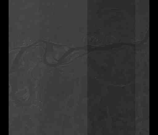
beginAcquisition | 2010-11-18T07:53:28.379Z |
endAcquisition | 2010-11-18T07:53:33.559Z |
availabilityTime | 2010-11-18T07:53:33.559Z |
platformShortName | ALOS |
platformSerialIdentifier | 1 |
instrumentShortName | PRISM |
sensorType | OPTICAL |
productId | AL1_OESR_PSM_OB1_11_20101118T075328_20101118T075333_025662_0248_2480_0001 |
productType | PSM_OB1_11 |
operationalMode | OB1 |
orbitNumber | 025662 |
orbitDirection | DESCENDING |
wrsLongitudeGrid | 248 |
wrsLatitudeGrid | 2480 |
illuminationAzimuthAngle | 174.000 |
illuminationElevationAngle | 15 |
acrossTrackIncidenceAngle | -1.20 |
footprint | 55.568 50.138 55.267 49.985 55.174 50.541 55.475 50.698 55.568 50.138 |
sceneCentre | 55.372 50.341 |
productVersion | v1.18 |
productSize | 202298025 |
acquisitionType | NOMINAL |
productStatus | ARCHIVED |
acquisitionStation | HAJ |
productQualityDegradation | 0 |
productQualityDegradationQuotationMode | AUTOMATIC |
processingCenter | ESR |
processingDate | 2016-02-03T01:14:00.423Z |
processorName | ALOS Converter |
processorVersion | 1.4.4 |
nativeProductFormat | CEOS |
AvailableViews | Nadir, Forward and Backward |
xPointingAngleF | -01.090 |
xPointingAngleB | -01.090 |